
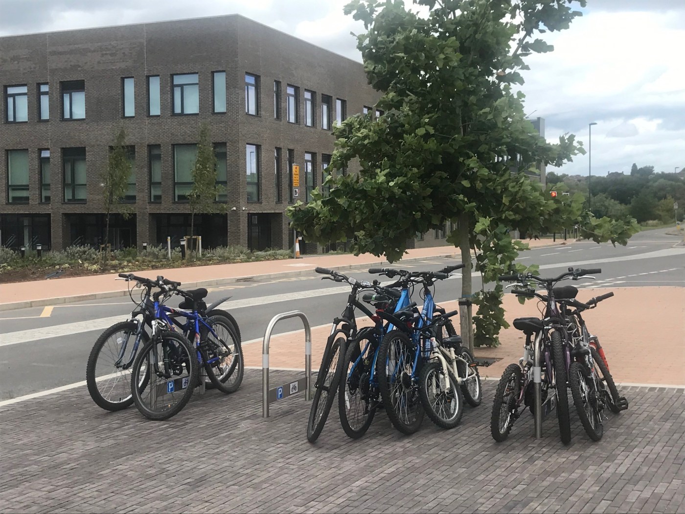
With the increase in cycle parking stands in Swindon since the pandemic (thanks to Government funding) it seemed a good idea to plot these on a Google map layer.
The new interactive map has now been launched and has clickable pins that show a photo of the cycle parking, and details about whether the infrastructure is lit and conforms to guidance.
Click the map below to view. The map can be added to as more stands appear.

Leave a comment